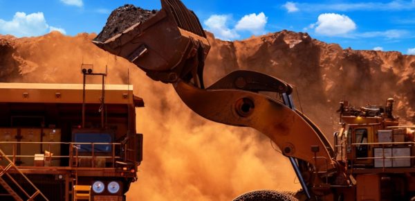
World-Leading Mining Technology Solutions
The future of mining is digital. We’re transforming mines with cutting-edge technology.
It’s no longer enough to have the best machines. Maximizing revenue requires continuous optimization with digital mining technology.
How We Help Mines

Our Surface Mining Technology
We’re shaping global mining through cutting-edge digital technology and collaborative partnerships towards a safer, more productive, and sustainable future.
We’re passionate about meeting the current and future challenges of the mining industry, from payload monitoring to GET loss detection systems and data analytics. Our mining industry software and hardware empowers customers to get the whole picture with real-time data, so they can feel completely confident in their decisions.
We support you to improve safety, revenue, and operator performance.
Digital Mining Solutions
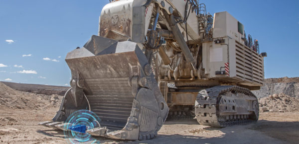
Titan 3330 Payload Monitoring
Give your operators the tools to consistently fill buckets and trucks to target payloads.
READ MORE >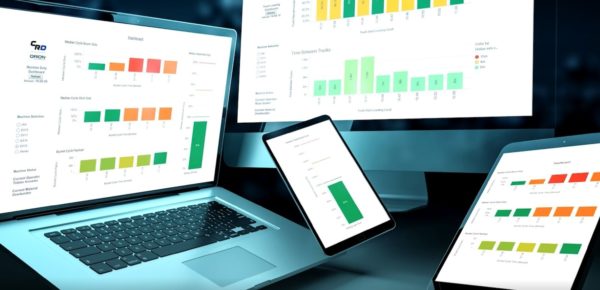
Orion Data Analytics
Get actionable insights to take your mining productivity to the next level.
READ MORE >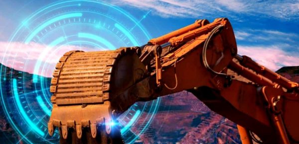
GET Trakka GET Loss Detection
Immediate GET loss alarms and the ability to locate lost components on the ground.
READ MORE >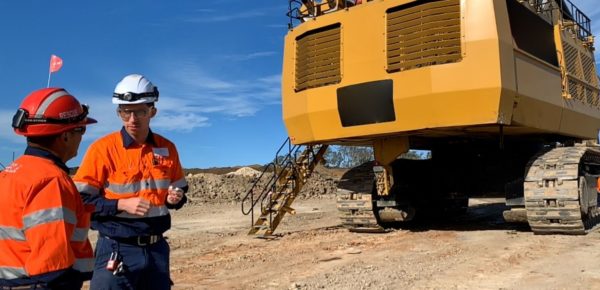
Analysis & Improvement
Tailored mining business intelligence to get the most value from our digital solutions.
READ MORE >RESOURCES
Explore Case Studies
Eliminate Crusher Events with GET Trakka™
A reliable solution for GET monitoring that has increased productivity and eliminated operational down time from crusher events.
READ MORE >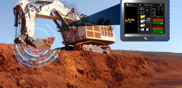
Titan 3330™ Optimizes an Autonomous Iron Ore Fleet
Titan 3330™ improved loading performance by increasing operator engagement.
READ MORE >
Titan 3330™ Minimizes Overloads
Average truck payload increased by 3 tonnes while overloaded trucks decreased by 1%.
READ MORE >
Titan 3330™ Monitors Machine Attachment Duty
Titan 3330 reduced machine duty factor by 15%.
READ MORE >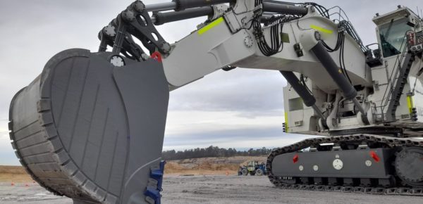
Increasing Hydraulic Excavator Productivity
Titan 3330™ increased productivity and improved pass matching with reduced overloads.
READ MORE >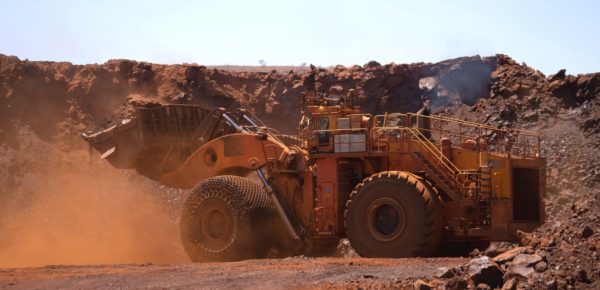
Titan 3330™ Increases Production in WA Iron Ore Mine
Operators increased average truck payload while decreasing truck overloads – maximizing productivity.
READ MORE >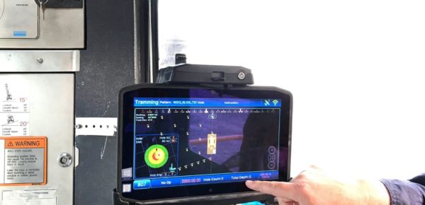
Thunderbird 1110 StrataSense Optimizes Drilling
With actionable data on rock hardness, the miner was able to optimize drilling and improve planning.
READ MORE >
Maximizing Production of a Hitachi EX5600
Titan 3330 delivered a 26% increase in Instantaneous Productivity.
READ MORE >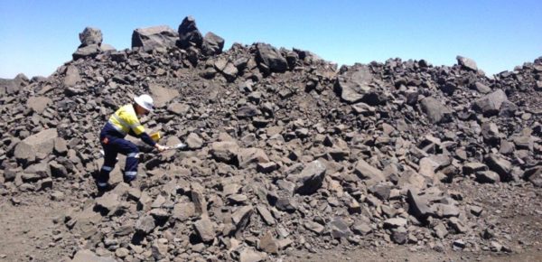
GET Trakka Stops Costly Crusher Events
GET Trakka provides the ultimate solution to detecting broken and lost GET in real-time.
READ MORE >
Titan 3330™ Pass Matching
After operator training, operational productivity increased 19.5%.
READ MORE >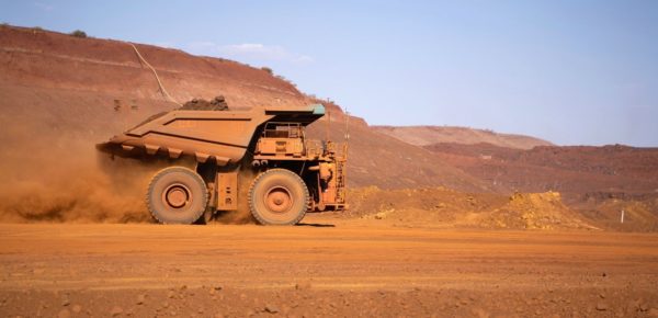
Titan 3330™ Reduces Truck Underloads
Titan 3330 delivers a 23% reduction in truck underloads.
READ MORE >World-Leading Mining Technology Solutions
A Culture of Innovation
Science and engineering innovation lie at the heart of our commitment to ongoing research, product development, and customer problem-solving.
Our core digital capabilities underpinning our advanced solutions include:
- Mining machine sensing and models: a deep understanding of mining machines forms the foundation for our range of solutions, enabling us to implement reliable sensing and accurate models of mining-class machines.
- Rugged RF sensing: mining is one of the toughest environments for electronics, particularly the business end of large excavators. We have extensive experience with battery-powered IoT sensors via our GET Trakka sensors.
- Data analytics and machine learning: our solutions generate data, which becomes the foundation for new insights and more effective mining operations. Our team of data analysts bridges the gap between data and insights, collaborating with our customers to drive real, lasting improvements.
- Lidar: our experience with Lidar dates back to the late 1990s with a joint project between CSIRO and NASA. Lidar provides an essential building block for autonomous systems and situational awareness, and forms a key part of our technology stack.
A Shared Technology Responsibility
Customer-Centric Support
CR Powered by Epiroc is driven to achieve outcomes for our customers – your success is our success. We know the importance of availability of operational technology in a 24/7 mining operation.
Our team of account managers, regional technicians, and remote engineering support are on the journey with you to generate value from your technology.
Our Analysis & Improvement service crunches the numbers to provide actionable insights. We have a strong team of data analysts who provide support to help you understand the data and then put it to work for you. And if you have questions, our responsive customer support means help is always close at hand.
Scale Testing
We use scale testing to scale down real-world scenarios to test and validate solutions quickly, reliably, and accurately at our Goodna test facility – including scaled-down mining excavators, rope shovels, and draglines. CR Powered by Epiroc’s scale testing delivers on real-world performance within 2% of our scale testing findings.
Our door is always open
Get in touch to start the conversation
We thrive on building collaborative partnerships with the world’s best miners.
If that sounds like you, we’d love to talk.
Contact Us
Fill out the form to get the ball rolling.